
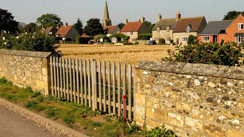
Boundary Surveys
Get in TouchAt Northampton Surveys, we specialise in providing accurate boundary surveys . Our boundary surveys ensure that property lines are precisely defined, helping to avoid disputes and inform development decisions.
We use advanced surveying equipment and techniques to deliver detailed reports. Our services cater to a wide range of clients, including property owners, architects, and developers.
Get in touch with us today to discuss your requirements and request a free quote.
How Much Does a Boundary Survey Cost?
Boundary surveys typically cost between £500 and £1,500. The price can vary depending on factors such as the property's size, terrain, and location accessibility.
For instance, properties with dense vegetation or rugged landscapes may require additional equipment like total stations and GPS units to ensure precise measurements, which can affect costs. We adhere to guidelines set by the Royal Institution of Chartered Surveyors (RICS) to maintain accuracy and reliability.
Larger or more complex properties may require additional surveying time and resources, increasing the cost. These surveys are crucial for resolving disputes, subdividing land, or preparing for construction projects.
We undertake detailed mapping, using laser scanning technology and AutoCAD software to produce precise plans. Contact us for a tailored quote based on your specific requirements and property details.
How Does a Boundary Survey Work?
Our boundary survey process involves several steps to ensure precision and accuracy.
Initial Consultation: We discuss your requirements and gather necessary information about your property.
Site Visit: Our surveyors visit the location to gather data using high-precision GPS and total station instruments.
Data Analysis: We process the collected data to determine property boundaries accurately.
Report Generation: A detailed boundary report is prepared, providing clear information on property lines.
Our team ensures compliance with local surveying standards in every survey.
What Are the Benefits of a Boundary Survey?
Boundary surveys offer multiple benefits:
Clarification of Property Lines: Accurately defines property boundaries, preventing disputes. We use precise measurement techniques, such as total station and GPS surveying, to ensure exact boundary delineations.
Informed Development Decisions: Ensures compliance with local planning regulations. This includes understanding zoning laws and setback regulations that influence building permissions and future developments.
Property Dispute Resolution: Provides legal documentation to settle boundary-related issues. Our surveys are conducted in line with the Royal Institution of Chartered Surveyors (RICS) standards, adding credibility in legal settings.
Property Investment Assurance: Confirms property dimensions for potential buyers. This verification helps in assessing property value and securing financing, as accurate boundaries are crucial for mortgage approvals.
Our surveying expertise ensures you receive the information needed for property management and investment decisions, guiding you confidently through property transactions.
Why Choose Northampton Surveys for Boundary Surveys?
Choosing Northampton Surveys for boundary surveys means opting for expertise and accuracy. Our surveys are conducted using advanced Total Station Theodolites and GPS equipment, which provide high precision in determining property boundaries.
This technology allows us to achieve measurements that adhere to British Standard BS 5606:1990 for Accuracy in Building.
Our surveyors are experienced professionals who understand the importance of legal compliance. We ensure that every survey complies with the RICS Code of Measuring Practice, preventing costly legal disputes or boundary issues for our clients.
We conduct topographic surveys alongside boundary surveys to give a view of the property, detecting features like utilities and surface water drains.
We prioritise client communication and satisfaction, tailoring each survey to the client's needs. With a commitment to accuracy and reliability, we are your trusted choice for boundary surveys.
Contact us today to benefit from our surveying services.
Speak to a Boundary Surveys Expert
Frequently Asked Questions
How Long Does a Boundary Survey Take?
A boundary survey typically takes one to three days, depending on the property's complexity and size.
What Equipment Do You Use for Boundary Surveys?
We use surveying equipment, including GPS systems and total stations, to ensure precise data collection and analysis.
How Can I Prepare for a Boundary Survey?
Ensure access to the property and provide any existing property documentation. Clear any obstacles that may impede the surveyor's work.
Can Boundary Surveys Be Used in Legal Disputes?
Yes, our surveys provide accurate and legally recognisable information, often used in legal proceedings to resolve boundary disputes.
Get a Free Quote for Boundary Surveys
Contact us today at Northampton Surveys to discuss your boundary survey needs .