
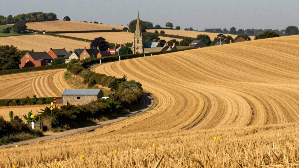
Contour Surveys
Get in TouchAt Northampton Surveys, we deliver comprehensive contour surveys to accurately map the elevation and slope of any land. Our team uses state-of-the-art equipment and advanced GPS technology to produce detailed topographical maps.
These maps are essential for construction planning, landscape design, and civil engineering projects, ensuring precise elevation data. Our contour surveys help to identify potential drainage issues and provide vital information for architects, engineers, and developers.
Get in touch with us today to discuss your contour survey needs .
How Much Does a Contour Survey Cost?
Contour surveys typically cost between £300 and £900. The exact price depends on factors such as the area size, terrain complexity, and project specifics.
For instance, surveys on irregular landscapes with significant elevation changes might require additional equipment, like LiDAR (Light Detection and Ranging), to capture precise data. Larger or more complex sites may require more detailed surveying and, therefore, more time and resources.
We adhere to standards such as the RICS (Royal Institution of Chartered Surveyors) guidelines, ensuring measurements are accurate and documented correctly. Detailed topographical maps are usually delivered within two to three weeks, depending on the project's scope.
We provide competitive pricing and detailed quotes to ensure transparency. Contact us for a tailored quote to meet your specific project requirements.
How Are Contour Surveys Conducted?
At Northampton Surveys, we conduct contour surveys using a structured process. Firstly, we gather site data using GPS and total station equipment.
Data Collection: We use GPS and total stations to collect precise elevation data.
Data Analysis: The gathered data is analysed to identify key elevation points and contours.
Map Creation: We create detailed topographical maps showing contours and elevations.
Report Delivery: Finally, we provide you with a survey report for your project needs.
This process ensures accurate representation of your land's topography.
What Are the Benefits of Contour Surveys?
Contour surveys provide numerous benefits:
Accurate Planning: Vital for construction and landscaping, these surveys offer precision by using total stations and GPS technology to create detailed maps. This ensures structures are built on stable ground and helps in determining cut and fill requirements.
Problem Identification: Detects drainage issues by analysing slopes and gradients, which can prevent waterlogging and soil erosion. It also highlights any irregularities in the land that might require intervention before construction.
Design Assistance: Essential for architects and engineers, contour surveys provide the detailed topographic data needed to create effective and efficient designs. This data allows for accurate dimensioning and alignment of structures.
Regulatory Compliance: Ensures projects adhere to local and national regulatory requirements regarding land use and environmental impact. This facilitates the approval process for planning permissions and construction permits.
By using our contour surveys, you can mitigate risks, improve project planning, and optimise your project's planning and execution.
Why Choose Northampton Surveys for Contour Surveys?
Choosing Northampton Surveys for your contour surveys means partnering with a professional and experienced team adept in using total stations and GPS technology. Our surveyors employ these tools to produce accurate topographic surveys, which are essential for pinpointing elevation changes.
We adhere to strict industry standards like the RICS specification for measured surveys, ensuring that the data you receive is precise and comprehensive.
We handle diverse projects, from small residential developments to extensive commercial sites, tailoring our approach to meet specific property requirements. Our detailed reports include contour intervals, slope gradients, and critical dimensions needed for construction planning and land development.
With our focus on prompt communication, we ensure you are informed at every project stage. Contact us today to benefit from our expertise and receive a detailed survey report.
Speak to a Contour Surveys Expert
Frequently Asked Questions
How long does it take to complete a contour survey?
Most contour surveys are completed within one to three days, depending on site size and complexity.
Can contour surveys help in flood risk assessments?
Yes, contour surveys can identify areas prone to flooding by mapping natural drainage paths, helping in risk assessments and planning.
What is the difference between a contour survey and a topographical survey?
A contour survey focuses on mapping the land's elevations, while a topographical survey includes all natural and man-made features of an area.
How do I maintain survey accuracy?
Ensure any subsequent land alterations are updated in the survey. Regularly consult surveyors for significant changes to your terrain.
Which equipment is used in contour surveys?
We use GPS and total station equipment to ensure accurate data collection.
Get a Free Quote for Contour Surveys
Choosing the right partner for your contour survey is crucial. Contact Northampton Surveys today for a no-obligation quote tailored to your specific needs.