
Topographical Surveys
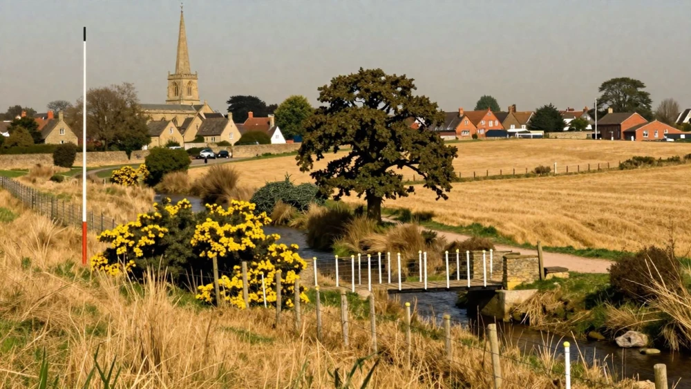
Get in TouchAt Northampton Surveys, we offer topographical surveys to ensure accurate mapping of land and property boundaries. Our surveys highlight various terrain features such as elevations, trees, water bodies, and infrastructure.
Using advanced equipment like total stations and GPS, we cater to construction firms, architects, and engineers. Our detailed reports provide the data necessary for planning and development projects.
For precise mapping needs, contact our team today.
How Much Does a Topographical Survey Cost?
A topographical survey typically costs between £300 and £1,200 depending on the size and complexity of the site. Several factors influence the cost, including site accessibility, the level of detail required, and existing features such as vegetation or buildings.
Additionally, the presence of underground utilities or the need for laser scanning to achieve high-precision measurements can add to the complexity and subsequently the cost.
We use advanced total stations and GPS equipment to ensure precise data collection, adhering to the RICS (Royal Institution of Chartered Surveyors) standards, which can impact the pricing structure. Factors like terrain type and potential obstructions in urban settings also play a crucial role.
For infrastructures like commercial properties or expansive residential estates, the price may gravitate towards the higher end of the spectrum. For a personalised quote, get in touch with us to discuss your project specifics.
Book Topographical Surveys Today
What Are the Benefits of Topographical Surveys?
Topographical surveys offer numerous benefits, ensuring thorough understanding and planning for land development. These surveys provide detailed mapping of the terrain, which includes elevation data and contour lines vital for architects and engineers.
Accurate land measurements for construction planning, enabling precise site layout and resource allocation.
Identification of natural and man-made features, such as trees, buildings, and watercourses, essential for infrastructure placement and design.
Prevention of potential boundary disputes by clearly defining property lines and ensuring legal compliance with Land Registry data.
Essential data for environmental and feasibility studies, incorporating flood risk analysis and drainage planning to adhere to local environmental regulations.
By resolving these critical aspects, you can ensure a smoother transition from design to implementation. Reach out for more insights and assistance with your next project.
How Long Does a Topographical Survey Take?
Most topographical surveys are completed in one to two days, depending on site complexity, size, and specific client requirements. For example, surveying an irregular terrain with multiple elevation levels can take longer compared to a flat site.
Additional time may be required for processing and analysing data, which typically takes another one to three days. We use advanced software such as AutoCAD and GIS tools to ensure precise mapping and representation of the land features.
Moreover, factors such as weather conditions or access issues might extend the fieldwork phase. Once fieldwork and data analysis are complete, our team prepares detailed reports, often adhering to industry standards like the RICS (Royal Institution of Chartered Surveyors) guidelines.
We strive to deliver reports promptly without compromising accuracy.
Why Choose Northampton Surveys for Topographical Surveys?
Choosing Northampton Surveys for your topographical survey needs offers you expertise, accuracy, and efficiency. Our team uses electronic theodolites and GNSS systems to ensure precise data collection.
We comply with industry-wide standards like the RICS (Royal Institution of Chartered Surveyors) guidelines to maintain consistency and reliability in all our surveys.
We handle diverse projects, including residential developments, commercial properties, and infrastructure planning. Our surveys often include detailed terrain mapping and elevation models, capturing features such as boundary lines, utilities, vegetation, and existing structures.
We also use laser scanning for complex terrains or limited-access sites, generating high-resolution 3D models for comprehensive analysis.
We are dedicated to providing detailed reports tailored to each client's requirements, allowing for practical decision-making and project success. Contact us today to discuss your topographical survey needs.
Speak to a Topographical Surveys Expert
Frequently Asked Questions
How do I maintain survey data accuracy over time?
Over time, environmental changes can affect land. Regular surveys ensure data remains accurate and relevant.
We recommend re-surveys every two to five years, depending on project needs.
Do topographical surveys include underground services?
A standard topographical survey focuses on surface features. However, if required, we can arrange additional services to identify underground utilities.
Is a topographical survey necessary for a small residential project?
Yes, even small projects benefit from accurate land data. It facilitates legal compliance and aids in efficient planning, reducing potential delays.
Can I get a digital version of the survey?
Absolutely, we provide digital formats of our reports, compatible with AutoCAD or PDF, making the information accessible for future reference.
Which areas do you cover for topographical surveys?
We conduct topographical surveys . Contact us for projects outside of these areas to see if we can assist.
Get a Free Quote for Topographical Surveys
For detailed and reliable topographical surveys, contact Northampton Surveys today. Our team is ready to provide a free, no-obligation quote for your land surveying needs.