
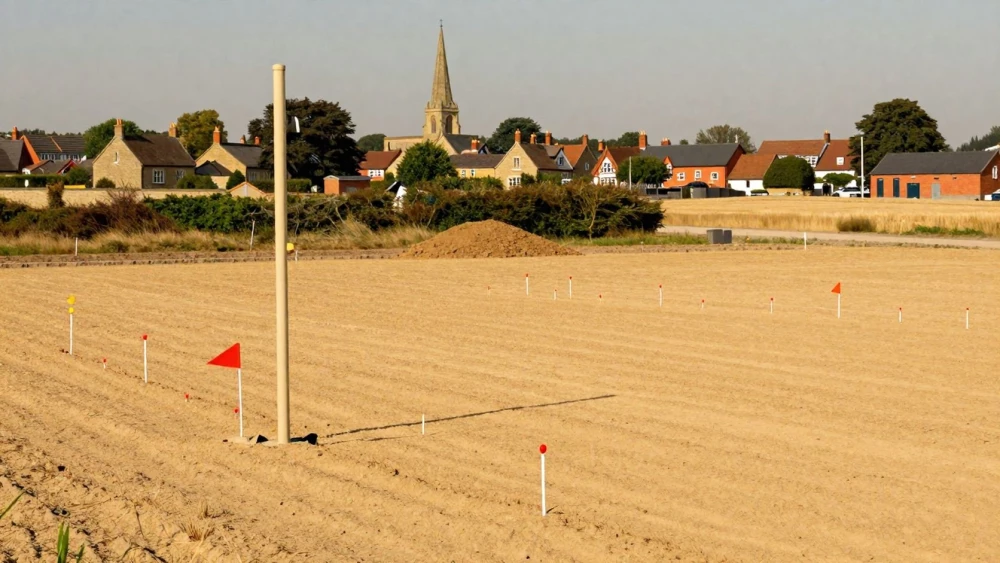
Site Level Surveys
Get in TouchAt Northampton Surveys, we specialise in providing accurate site level surveys for construction and land development projects . Our surveys deliver precise measurements, ensuring that your project's groundwork is laid out correctly.
Using state-of-the-art equipment, we cover a range of terrains and site conditions. Contact us today to discuss how we can assist with your next project.
How Much Do Site Level Surveys Cost?
Site level surveys typically cost between £500 and £1,500, depending on the project's size and complexity. The final price can vary based on factors such as the site's accessibility, terrain, and any specialised requirements you might have.
We use equipment like total stations and GPS-based systems to ensure accurate measurements, which might affect pricing. Additionally, if there's a need for post-survey analysis using specialised software, this could also influence costs.
Our team adheres to industry standards such as the RICS guidelines to ensure reliability. Projects with challenging topography or highly detailed survey needs may incur additional costs.
Timeframes for completion can range from a few days to a week, depending on project scope. For a customised quote, feel free to reach out to us.
What Types of Site Level Surveys Are Available?
We offer several types of site level surveys to meet the varying needs of construction and development projects. Ideal for engineers, developers, and architects, these surveys encompass a variety of methods and instruments.
Our main options include:
Topographic Surveys: Detailed mapping of site features and elevations, using electronic distance meters and GPS technology to capture precise site contours and natural features.
Boundary Surveys: Accurate determination of property lines, critical for property disputes and used in conjunction with legal documents like deeds and titles.
ALTA/NSPS Land Title Surveys: Comprehensive surveys for legal and insurance purposes, integrating American Land Title Association standards to ensure compliance with stringent requirements.
Construction Staking: Setting out locations for construction projects, crucial for the alignment of roads, buildings, and infrastructure, ensuring projects adhere to design plans.
Each type caters to specific requirements. Our team can advise on the best choice for your project, considering factors like site complexity and regulatory compliance.
How Does a Site Level Survey Work?
A site level survey involves several key steps to ensure accurate and detailed results:
Initial Consultation: We engage with you to understand your project's specific requirements and objectives, discussing potential obstacles such as topography or existing structures.
Survey Preparation: Our team gathers existing site data, plans, and any relevant legal documents, including deeds or planning permissions, to facilitate a thorough assessment.
Field Survey: Using equipment such as total stations, GPS units, and laser scanners, we capture precise measurements of the site, considering elevation points and site contours for comprehensive topographical mapping.
Data Analysis: The collected field data is processed using software like AutoCAD Civil 3D to produce detailed maps and topological surveys. These analyses help identify any grading issues or drainage requirements.
Final Report: We deliver thorough documentation that includes maps, detailed findings, and any recommended actions, ensuring compliance with relevant industry standards such as BS 5930 for site investigations.
This systematic approach ensures that every aspect of the site is thoroughly evaluated and recorded, providing you with a basis for further project steps. Contact us to schedule your survey.
How Long Do Site Level Surveys Take?
Most site level surveys are completed within three to five days, depending on the survey's scope and complexity. Factors such as weather conditions, site accessibility, and the extent of detail required can influence the duration.
Surveys typically involve the use of total stations and GPS equipment to measure horizontal and vertical positions with precision. We also adhere to RICS specifications to ensure accuracy and reliability of our data.
For complex projects involving large commercial properties, additional time may be required to account for detailed analysis and processing. Smaller sites, like residential plots, may see surveys completed more quickly due to their straightforward nature.
Contact us to discuss your specific project needs.
Why Choose Northampton Surveys for Site Level Surveys?
Choosing Northampton Surveys for your site level surveys ensures precision, reliability, and expertise. Our experienced team uses the latest surveying equipment, including robotic total stations and GPS systems, to ensure accurate and reliable elevation measurements.
We adhere to the RICS guidelines, reflecting our commitment to industry standards and precision. Our surveys typically cover aspects such as ground contours, existing structure heights, and drainage levels, which are crucial for both large-scale commercial developments and smaller residential projects.
We are committed to meeting project timelines and understand the importance of liaising closely with architects and construction engineers to ensure a successful outcome. Partner with us and benefit from our approach to delivering site level surveys.
Contact us to learn how our services can benefit your project.
Speak to a Site Level Surveys Expert
Frequently Asked Questions
How do I maintain the accuracy of my site level survey?
Maintaining survey accuracy involves regularly updating the survey as the project evolves. We recommend follow-up surveys to adjust to any site changes over time.
What areas do you cover for site level surveys?
We offer site level surveys and can discuss further coverage areas upon request.
How can I prepare my site for a survey?
Prepare by ensuring site access and clearing any obstacles. Providing previous site documentation can also expedite the survey process.
What should I expect to receive after the survey?
You will receive a detailed report, including maps and data that outline the surveyed area's features and topography.
Get a Free Quote for Site Level Surveys
For precision-focused site level surveys, contact Northampton Surveys today.