
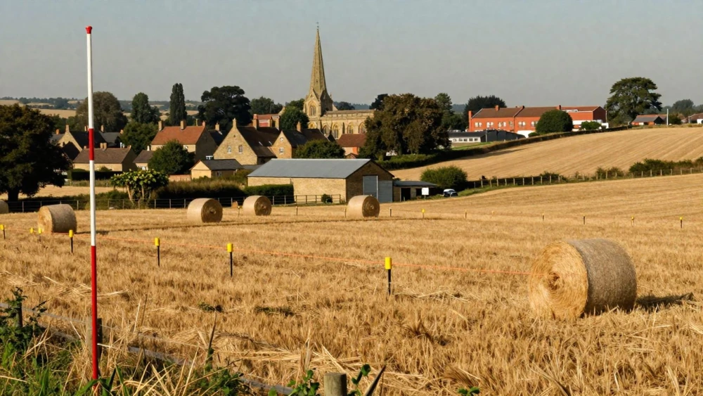
Land Surveys
Get in TouchAt Northampton Surveys, we specialise in providing comprehensive land surveys . Our services include property boundary surveys, topographical mapping, and construction site surveys.
We use cutting-edge measurement techniques and state-of-the-art equipment to ensure precision and reliability. Whether you're a homeowner, developer, or civil engineer, our surveys can help with planning, design, and compliance with local regulations.
Contact us today to discuss how our land surveys can meet your needs.
How Much Does a Land Survey Cost?
A land survey typically costs between £300 and £1,200, depending on the specifics of the site and the level of detail required. Factors influencing the cost include the size of the property, terrain complexity, and any specific requirements such as boundary disputes or detailed topographical maps.
The type of survey needed also plays a role: a basic boundary survey may cost less than one requiring 3D laser scanning for detailed structural analysis. Additionally, compliance with local regulations and obtaining necessary permits may add to the expense.
The duration of the survey can range from one day to two weeks, influenced by property size and the survey's intricacy. For a precise quotation tailored to your project, get in touch with our team.
How Long Does a Land Survey Take?
Most land surveys can be completed in one to three days, depending on the site conditions and survey type. For simple boundary surveys, which involve measuring property lines and confirming legal descriptions, the process typically takes just a day.
More detailed surveys, such as topographical surveys that map elevation changes with precise equipment like total stations and GPS rovers, or construction surveys required for development projects, may need additional time for setup and data analysis.
The specific duration can also be influenced by factors like dense vegetation, which may necessitate special clearance tools, or urban settings where access to certain areas might be restricted. Furthermore, adverse weather conditions can impede progress, particularly in tasks needing high-accuracy measurements.
Scheduling flexibility also depends on the weather and access to the site. Contact us to arrange a convenient survey time.
What Are the Benefits of Land Surveys?
Land surveys offer numerous benefits:
Accurate Property Boundaries: Clearly define property lines to prevent disputes, using tools such as Electronic Distance Measurement (EDM) and Total Stations for precise measurement.
Detailed Topographical Maps: Understand terrain features and elevations for planning and design by using techniques like LIDAR scanning and aerial drone surveys.
Construction Precision: Ensure precise foundation, roadway, and utility placements through Geographic Information System (GIS) integration, enabling enhanced spatial analysis.
Regulatory Compliance: Meet local planning and construction regulations effectively, adhering to standards such as the Royal Institution of Chartered Surveyors (RICS) guidelines.
These surveys also assist with flood risk assessments by identifying landscape features that could affect water drainage. Invest in a professional land survey to ensure your project proceeds smoothly and efficiently.
Call us today for more details.
Why Choose Northampton Surveys for Land Surveys?
Northampton Surveys brings expertise and precision to every land survey project . Our team is experienced, using advanced equipment and methodologies, such as total stations and GPS, to deliver highly accurate results.
We employ techniques like LiDAR scanning to capture detailed geographical data, ensuring comprehensive analysis. Adhering to the standards set by the Royal Institution of Chartered Surveyors (RICS), we guarantee reliability and professionalism in our assessments.
We understand the importance of a timely survey and work diligently to meet deadlines without compromising quality. This approach benefits a range of clients, including property developers, architects, and local councils, who require precise boundary and topographical information for their projects.
Choosing us means ensuring the success of your project from the ground up. Contact us today to discuss your specific land survey needs.
Speak to a Land Surveys Expert
Frequently Asked Questions
How do I prepare for a land survey?
Before a land survey, ensure the site is accessible and any necessary permissions are granted. Our team will also advise if any specific preparations are needed.
What is included in the price of a land survey?
Our land survey prices typically include site visits, measurements, data analysis, and the production of detailed reports. Extra services or additional visits may incur further costs.
Do you provide land surveys for residential properties?
Yes, we offer land surveys for both residential and commercial properties, tailored to the specific needs and circumstances of each project.
Is a land survey necessary for new construction?
Yes, a land survey is essential for new construction to determine accurate boundaries and identify potential issues with land topography or rights-of-way.
Can you handle large-scale land survey projects?
Yes, we have the capacity and resources to manage both small and large-scale land survey projects across different property types.
Get a Free Quote for Land Surveys
Contact Northampton Surveys today to request your free quote for professional land surveys.